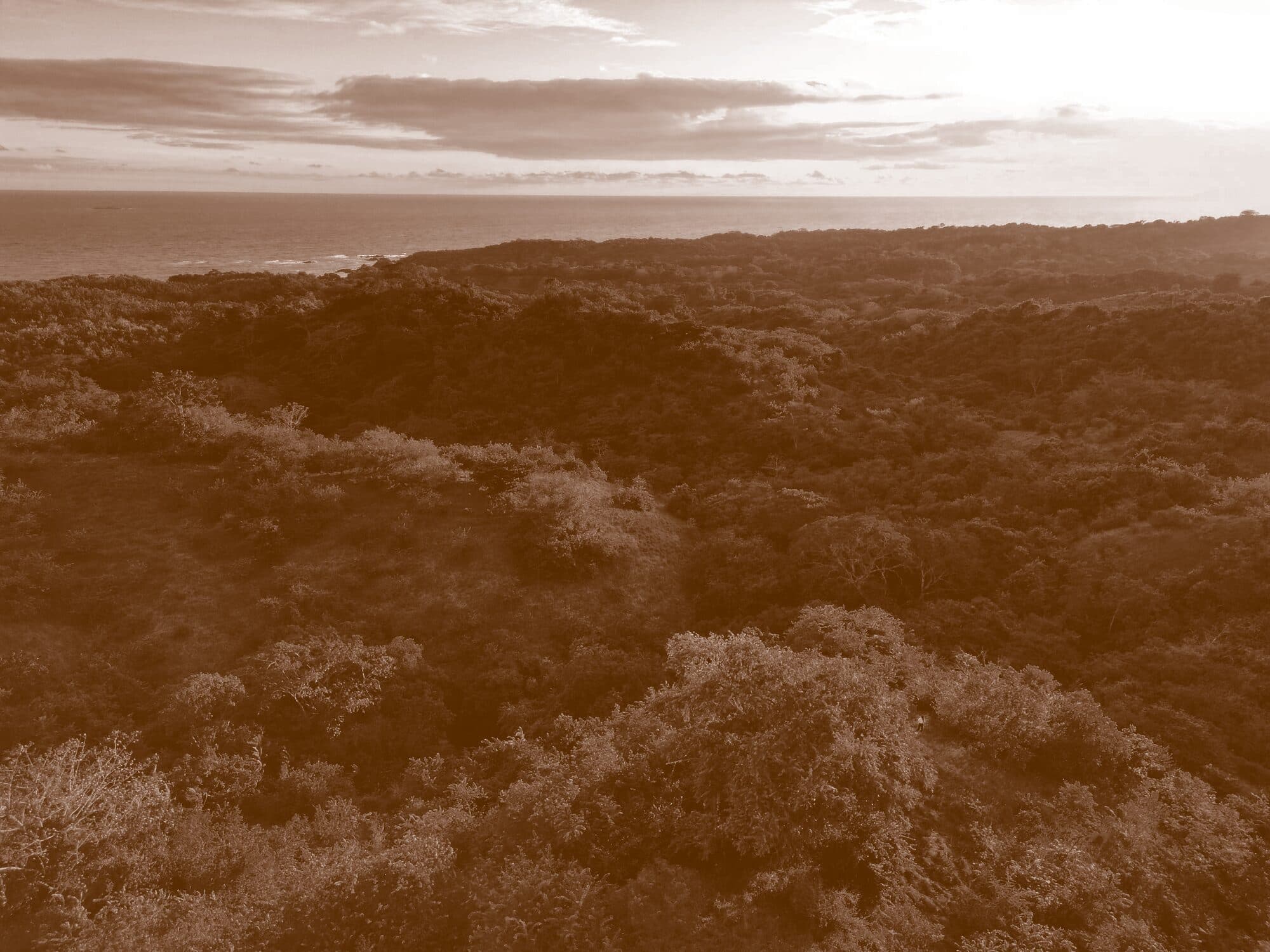

Pedasí · Los Santos · Panama
A project of protection, restoration, and natural legacy.
The initiative
Chumico Reserve is a conservation initiative on the coast of Pedasí, in the province of Los Santos, Panama. Its goal is to protect and regenerate a critical ecosystem where land and ocean flow again as one.
What we seek
A corridor from land to sea.
To create a functional biological corridor that lets life flow from the land to the sea, restoring ecological balance and securing the area's biodiversity.
Why it matters
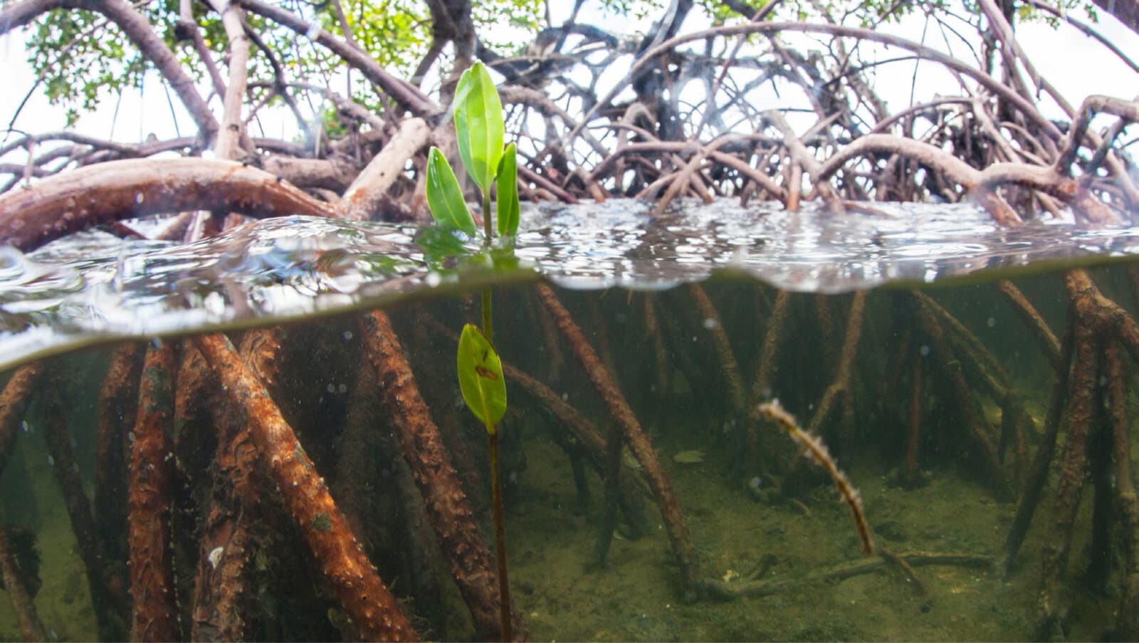
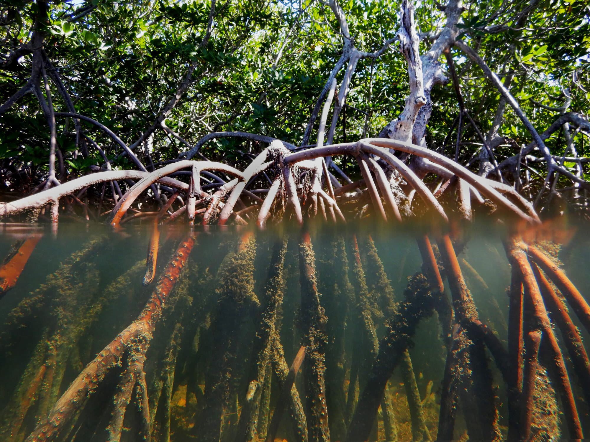
Mangroves aren't décor.
The region is threatened by irregular land invasion, mangrove loss, and the degradation of key habitats. Mangroves protect the coast, capture carbon, filter water, and sustain marine life.
In the area
Part of a larger system.
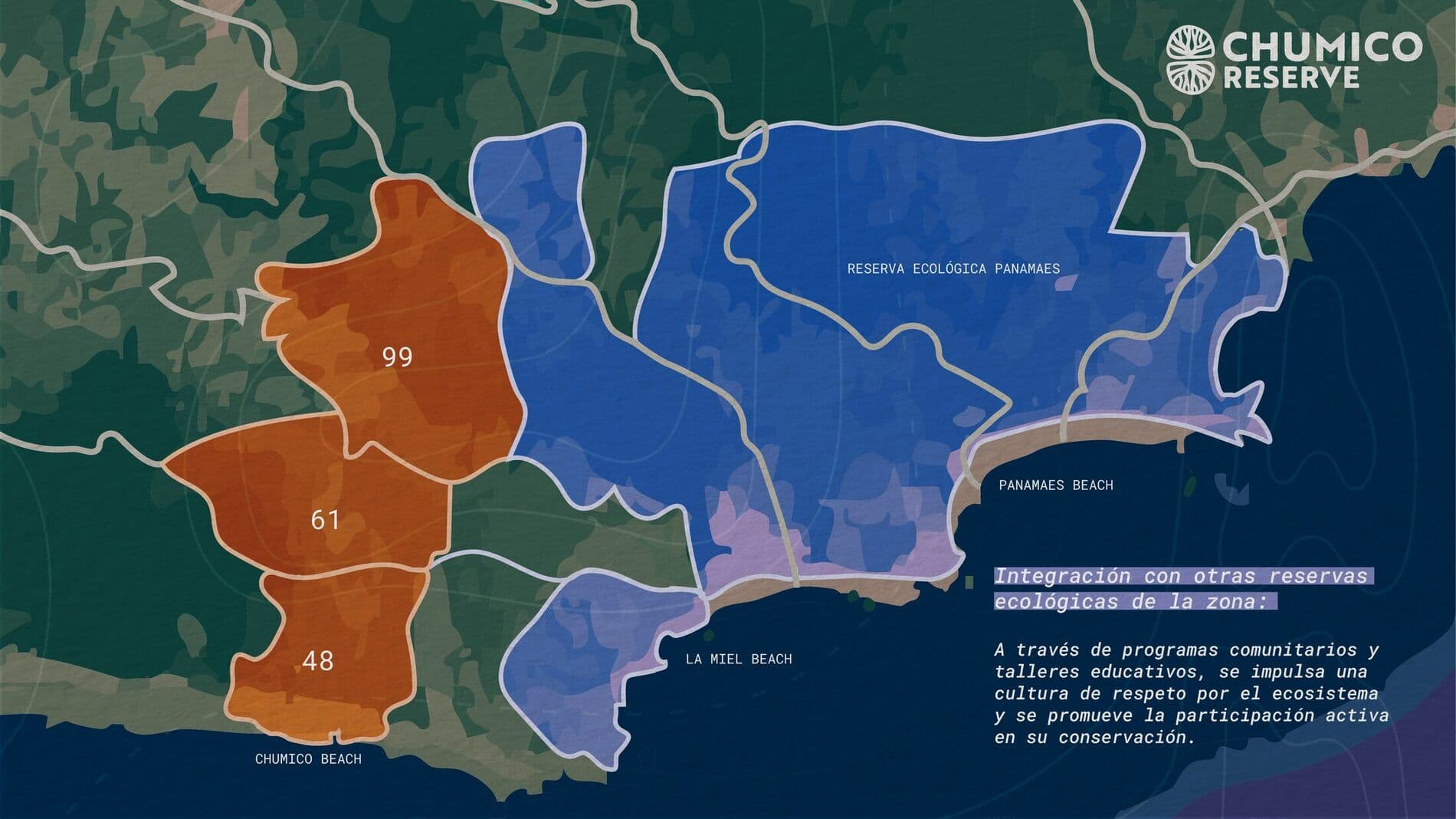
Chumico isn't alone: its parcels — of 99, 61, and 48 hectares — border the Panamaes Ecological Reserve and the coast (Chumico Beach, La Miel, Panamaes), joining a mosaic of protected areas that extends the region's corridor of life.
Evidence
Twenty-five years on record.
What happened at Playa El Chumico is not our version of events: it is documented by Panama's Ministry of Environment and by certified experts. The video tells it in under a minute.
The same stretch of coast, 23 years apart
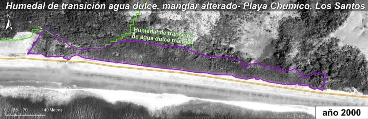
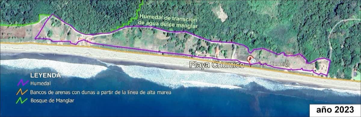
Drag the divider. The same stretch of El Chumico beach in the year-2000 orthophoto and the 2023 satellite image, extracted from the GeoSolutions Consulting multi-temporal analysis — the third report below.
Timeline of the damage, from 2000 to 2026
2000 — Mangrove intact
2000
Mangrove intact
The National Geographic Institute's certified orthophoto shows no dwellings, roads or plantations.
2006
First complaint
La Prensa reports indiscriminate logging and burning along a three-kilometre strip.
2008
Criminal complaint
A criminal environmental complaint reaches the Public Prosecutor's Office. In April, fire burns mangrove and associated vegetation.
2012
Thirteen hectares
A RapidEye satellite image records the damage.
2023
Area altered
Dwellings, crops and a road where the wetland used to be.
2024
The Ministry inspects
Official report: nine lots titled without the legitimate owner's authorization. It recommends voiding them.
2025
Field assessment
Five hectares degraded. Ecological restoration remains technically viable.
2026
Satellite measurement
2.12 hectares of mangrove lost between 2003 and 2010.
The three reports, in full.
Ministry of Environment of Panama
Official Technical Report CIM-040-2024-IT
18 Nov 2024 · 12 pages · signed by five officials
Documents the irregular subdivision of estate 4542 and recommends voiding the titles, restoring the ecosystem at the responsible parties' cost, and opening criminal proceedings.
Certified experts
Ecological expert report — Playa El Chumico
Credentials CTCB 208-2013 and N°6,668-11 · fieldwork 23 Aug 2025 · 27 pages
Serious, verifiable and cumulative damage between 2006 and 2024, with five hectares degraded. It concludes that ecological restoration remains technically viable.
Irregular titling
Were you sold land in this area?
In November 2024, Panama's Ministry of Environment documented the irregular titling of land in this area and recommended voiding those titles and suspending new allocations. If you bought or were offered land here, leave your details: we'll reach out to help with your case.
Documentation
Request the project's documentation.
Need to review Chumico's title, surveys, or legal status? Book a virtual meeting with the administration and we'll walk you through it.
Write to usWe'll reply from the administration.